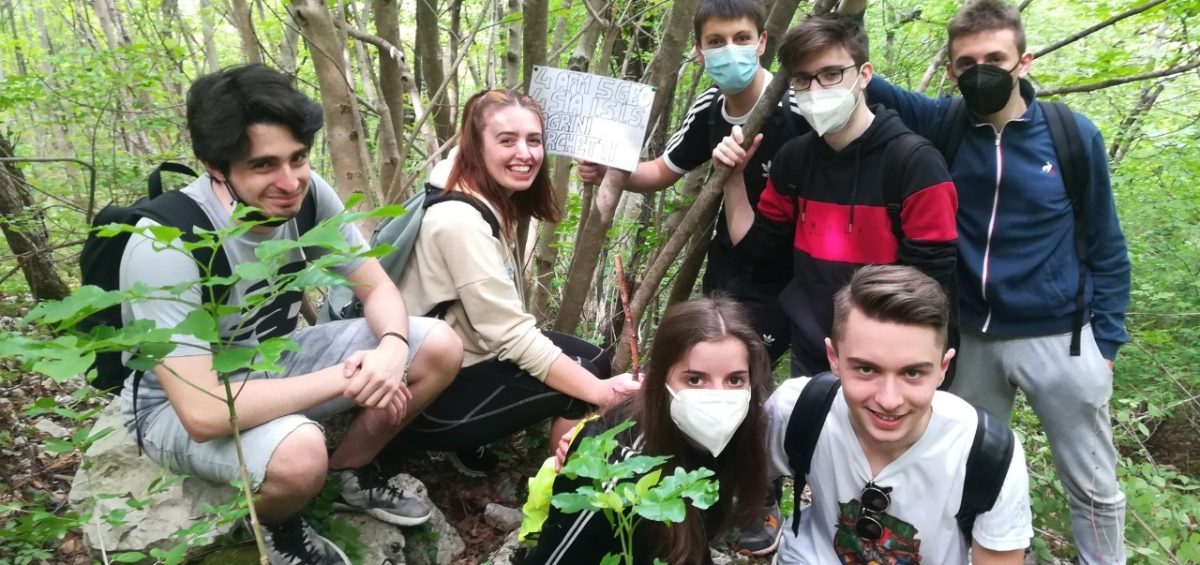
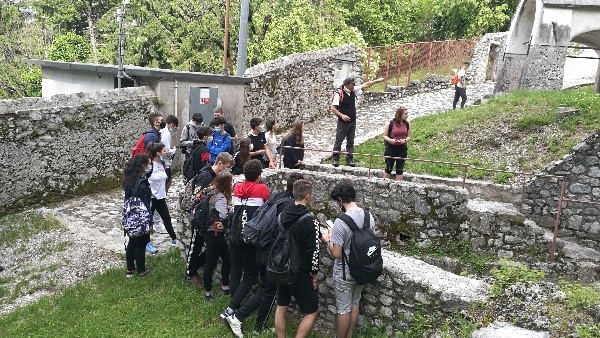
The Italian PULCHRA students focused on their local surface waters and paid particular attention to the surrounding land covers to check for the presence of polluting sources
You can read more about their PULCHRA project below
Regenerate the urban space in a healthy, connected, welcoming and resilient environment
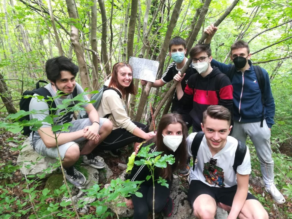
We are the students of the 5ageo (buildings, environment and territory), 4asia (Information Systems) and 4afm (Administration, finance and marketing) of the Secondary School “Magrini Marchetti” of Gemona del Friuli – Udine (Italy).
We took up the challenge of developing new ideas in creating public spaces considering urban spaces regeneration to connect people in the light of the economic, social and environmental problems complexity.
Activities developed in the Pulchra Project are:
1. explore water and fountains in our landscape,
2. explore the potential of green solutions (green roofs, waterproof flooring…) to improve urban spaces and buildings,
3. improvement of the cycling and pedestrian paths, with ecological benches and more.
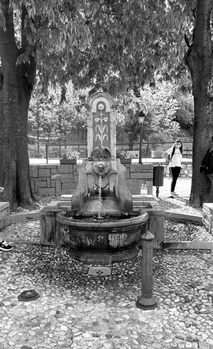
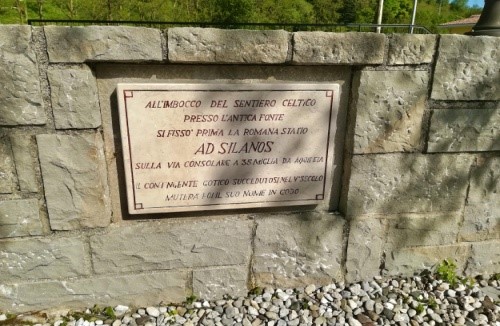
In this article we describe the activities concerning water and fountain exploration. Why water? Because it is a very important resource for our territory, which is very rich in waterways and fountains. We explored the historical fountain called “Silans” (figure 1) and the paths of the waterways that feed it during a field excursion, accompanied by teachers Roberto Evangelista and Giancarlo Mio.
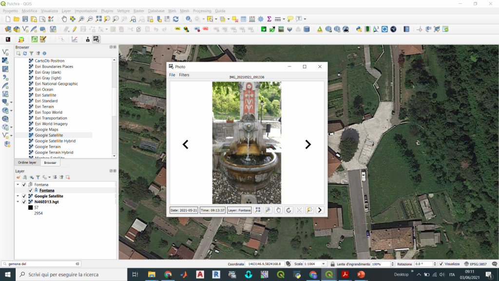
In our school lab we organized the excursion using hydrographic maps and software GIS (Geographic Information Systems) to identify the water paths (figure 2).
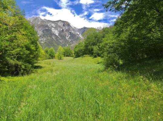
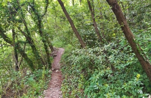
Finally, the excursion! Starting from our school, the first stop was the Silans fountain where the class of hearth surveyors geo-referenced the fountain by a geostationary survey. Starting from this point, we retraced the path of the waters arriving on the Glemine mountain to find the springs that feed the fountain. During the path we paid particular attention in the surrounding land covers to check for the presence of polluting sources and mapping the land covers by georeferenced points (figure 3).
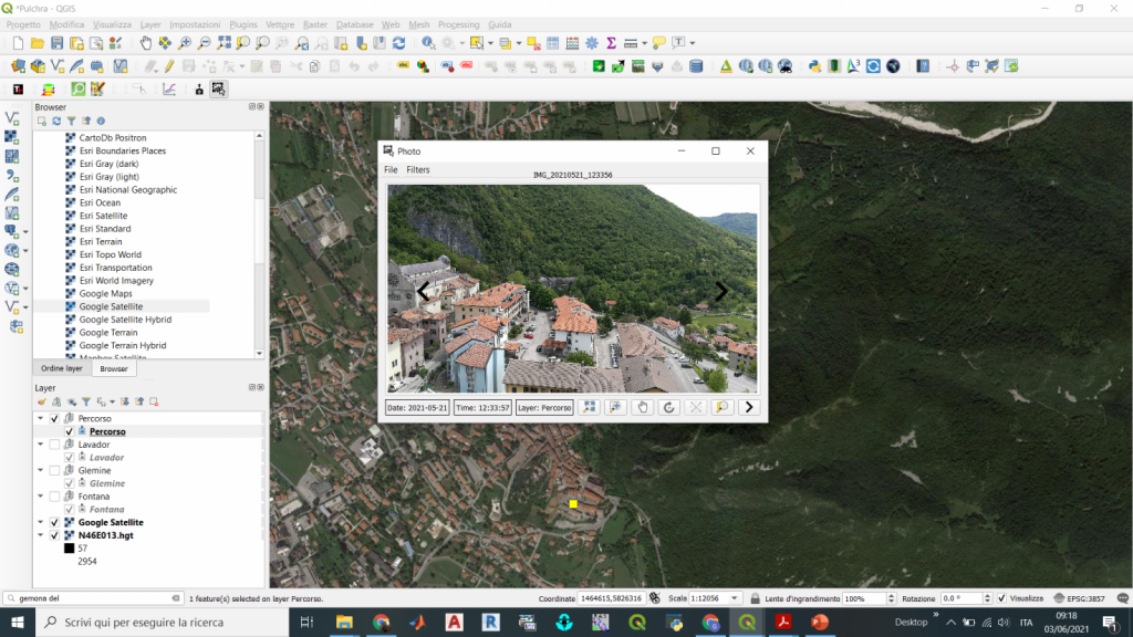
During the exploration walk we found that the water of Silans funtain flows underground and land covers are wooded environments (figure 4). Water don’t cross agricultural fields, so we can exclude the effect of pollutants such as pesticides or herbicides to the groundwater.
To verify our assumption, we consulted the on-line database on the quality of drinking water produced by the Regional Agency of Environment (ARPA), obtaining data relating to the general quality of drinking water in our study area (the municipality of Gemona del Friuli).
Then we explored the threshold parameters provided by the main Italian legislation on water quality.
What about the next steps?
The next steps will be aimed to verify the good quality of water. We will analyze water data collected during the excursion to compare the obtained values with those reported by the laws on water quality. For this reason, the chemistry laboratory will be exploited by using both simple instruments, as the litmus paper to measure the pH, but also more complex instruments such as microscopes to check the possible presence of microorganisms, etc.
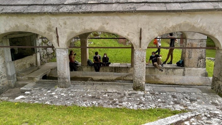
Along the path we explored also the “wash-house” (figure 5) which is about 100 meters upstream of the fountain and where the same waters flow. It is an important part of the cultural heritage linked to water of our territory.
This article was written by the PULCHRA Science Reporters from the Secondary School “Magrini Marchetti” of Gemona del Friuli – Udine (Italy)


