The following article is written by the PULCHRA Science Reporters of the Model High School of Anavryta in Greece.
Our school tries to build its own telescope!!! But big cities like Athens affect the astronomical observation due to its lights and air pollution. We want to learn about these effects, find the best places in our city for observations and create an Urban Astronomy Map for all amateur astronomers in Athens.
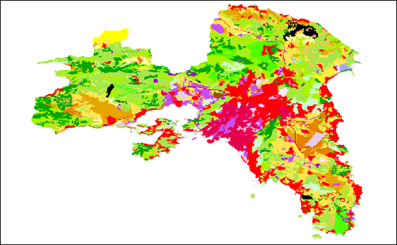
With the help of our teachers we found out that the main problems of an urban astronomer is light pollution from the city’s lights, air pollution and reduced visibility due to high buildings. It was difficult for us to find the necessary data to further explore our subject so we invited Mr. Anastasios Polydoros from the National and Kapodistrian University of Athens to give us information about how remote sensing data can help us identify the best places for urban astronomy. He provided us with elevation data (Figure 1), light pollution data (Figure 2) and land use data (Figure 3). Elevation data are helpful to define all places in Athens that have the best visibility of the whole sky. Light pollution data can help us determine which areas are the least affected by human lights and land use data can help us locate the least urbanized areas of the city.
Figure 1. Elevation data
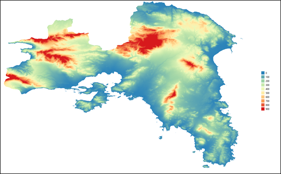
Figure 2. Light pollution in Athens
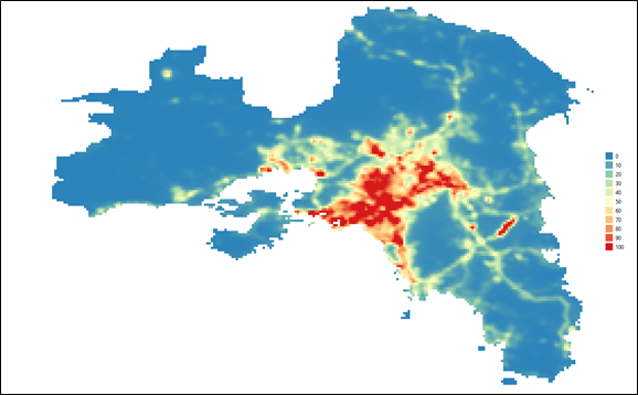
Figure 3. Land use data.
With a use of a GIS expert we want to automatically locate the areas that are the best for astronomical observation based on specific thresholds that we will decide after the analysis of the data. On the same time data we will search for data from air quality stations in Athens in order to locate the least polluted areas of the city. We hope that our Urban Astronomy Map will be ready by the end of the school year.
The PULCHRA Science Reporters


